Event overview
The benefits of technology and new digital techniques in facilitating data collection are being increasingly recognised. Remote sensing, continuous monitoring and wireless data management is now easier and more cost-effective and can improve data quality and availability, as well as facilitating its analysis for improved decision making, thus reducing time and project costs.
Furthermore, LCRM, the updated contaminated land guidance that has replaced CLR11 encourages the use of remote on-site technologies to give better insight.
This Brownfield Intelligence Network panel discussion will discuss the use of this technology in improving contaminated land, ground gas and groundwater risk assessments through better refinement of the conceptual site model and developing robust, justifiable remediation and mitigation strategies.
The session will take the form of a panel discussion whereby each panellist will give a 5-7 minute perspective on the topic, followed by panel discussion on key points including:
- What types of information can be effectively collected or measured in this way?
- What are the key considerations (eg weather, environment)
- What types of technology are being employed effectively (drones, remote sensing, telemetry, radar)
- The Regulatory perspective on its use- what needs to be demonstrated?
- Where are problems occurring and how can they be addressed?
- What is the impact of having this amount and type of data on decision-making and project management
Moderator:
Rebecka Bence, Environmental Consultant in Contaminated Land & Hydrogeology & Member of the Digital Team, Atkins
Rebecka is an Environmental Consultant in Contaminated Land and Hydrogeology (CLAH) at Atkins. She joined Atkins in October 2019 after completing her MSc in Hydrogeology and Water Management where she investigated opensource borehole data and digital integration solutions using Python as a means to improve groundwater modelling outputs. Rebecka supports a variety of projects in land contamination risk assessment, interpretative, and factual report writing which involves the analysis of field derived geo-analytical data, including AGS data. She is a member of the Digital team within CLAH and works to improve information management, a critical component of delivering Digital Transformation. She's enthusiastic about digital ground investigations and encourages innovative methods of data collection, verification, and visualisation through the use of digital tools, automation, and good information management practices.
Panellists:
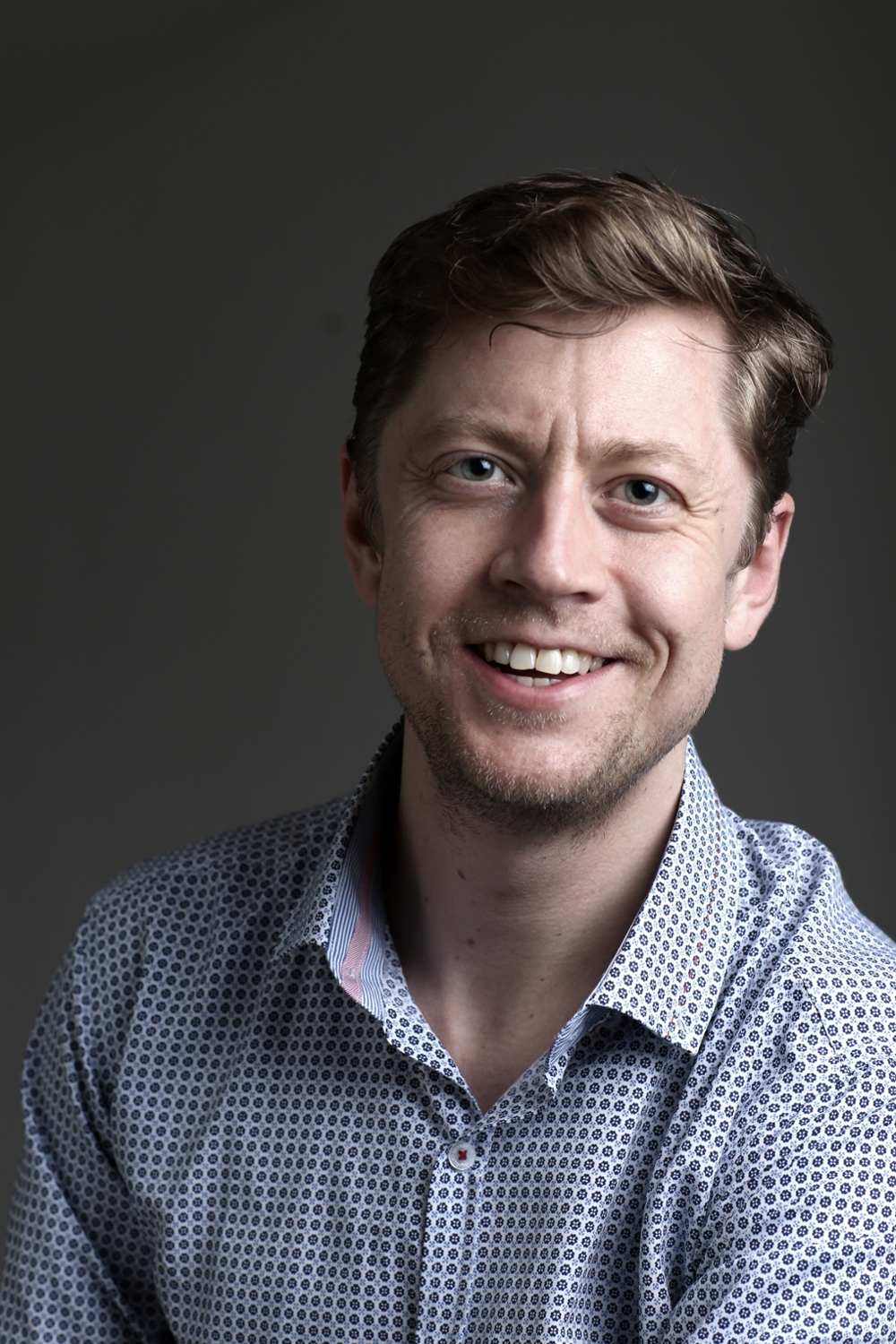
David Campbell, Divisional Director, Head of Remote Sensing, APEM

David is a geographic and environmental scientist with over fifteen years of consulting experience and is a specialist in aerial photography and remote sensing. He currently works for APEM as the head of Remote Sensing consultancy.
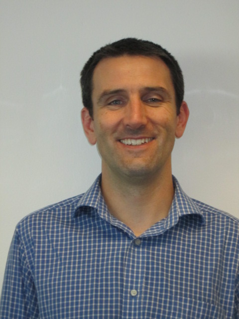
Tony Windsor, Technical Director, Arcadis

Tony is a Chartered Scientist, Professional Engineer and brownfield risk assessment, remediation and risk management expert with over 20 years’ experience in Canada and the UK. Tony is a technical director at Arcadis where his primary responsibilities are the technical quality of contaminated land projects and he is currently the geoenvironmental lead for Lower Thames Crossing. He is a keen advocate of the utilisation of emerging digital techniques to support the development of conceptual site models and facilitate robust ground investigation design as well as using technology to collate, manage and inform stakeholders about the risks associated with contamination issues across a scheme.
Kayleigh Smith, Regional Sales Manager, In-Situ

Kayleigh Smith is an In-Situ Sales Manager for the UK and Scotland and has worked in the industry for more than 16 years, selling, using and supporting equipment for groundwater and surface water monitoring and sampling. Her no-nonsense approach and expert advice have led to working relationships with some of the environmental sector’s biggest names.
Kayleigh trained at the Nielsen Environmental Field School in New Mexico where she became a Groundwater Monitoring Specialist. She is a member of IAH and has presented at WWEM, SWIG and CIRIA. She has also appeared on BBC News as an Independent Water Monitoring expert and is the curator/host of Thursday Focus Group, a bi-weekly focus group on leading environmental topics.
---
Available to Environment Analyst members, Network Pass holders and Brownfield Summit 2021 attendees only.
